- BIM
- PRODUCTS
-
Overview
BIM software applications for land surveying, infrastructure design and construction -
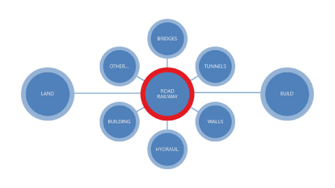
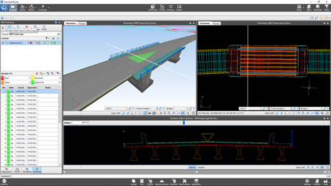
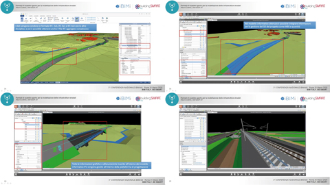
SierraSoft Infra Design Studio
BIM software for railway, road and hydraulic design -
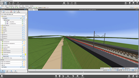
SierraSoft Rails Design Studio
BIM software for railway and road design -
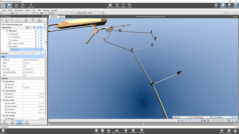
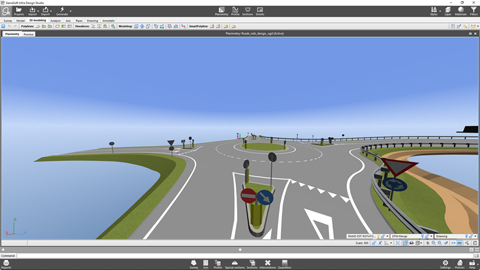
SierraSoft Roads Design Studio
BIM software for road and hydraulic design -
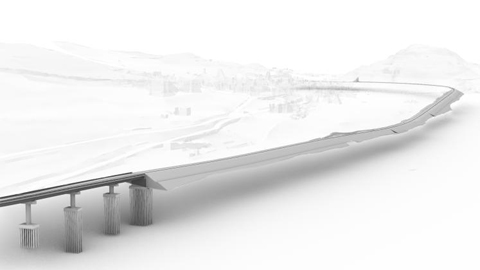
SierraSoft Rails
BIM software for the design of railways -
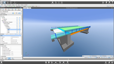
SierraSoft Roads
BIM software for the design of roads and highways -
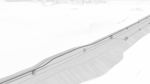
SierraSoft Hydro
BIM software for hydraulic design -
SierraSoft Land Design Studio
BIM software for land survey calculation, 3D modeling and analysis -
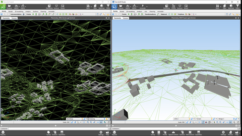
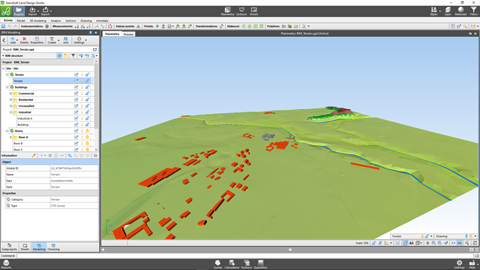
SierraSoft Land
BIM software for land 3D modeling and analysis -
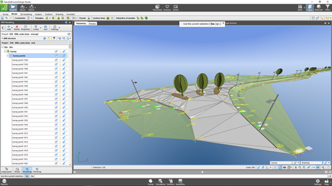
SierraSoft Survey
BIM software for calculation and adjustment of topographic measurements - EXTENSIONS
- TECHNOLOGIES
- VIDEO
- SERVICES
-
Overview
Overview of the services offered -
Subscription
Subscription features -
Activation codes
Request activation codes for products and trial version -
Technical support
Service features -
Request technical support
-
Customer support
Customer support on orders, invoices, licenses and products without Subscription -
SierraSoft Training
Live and deferred online courses -
SierraSoft Coaching
Customized remote shadowing service -
SierraSoft Consulting
Technical consultancy related to the implementation and use of SierraSoft solutions -
BIM Accelerator
Consulting and support service in the implementation of the BIM methodology -
BIM Expert Certification
Certify your professional skills -
SierraSoft Education
Complete your university education with knowledge and skills about SierraSoft products - COMPANY
- SOCIAL
- NEWSLETTER
- E-COMMERCE
- LANGUAGE