- BIM
- PRODUITS
-
Vue d'ensemble
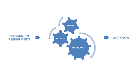
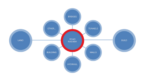
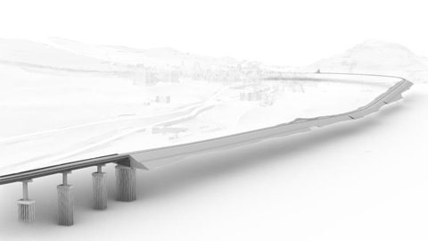
Applications logicielles BIM pour la topographie, la conception d'infrastructures et les constructions -
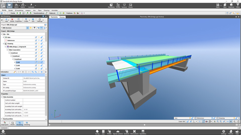
SierraSoft Infra Design Studio
Logiciel BIM pour la conception de voies ferrée, de routes et hydraulique -
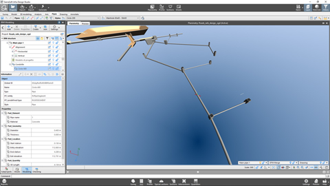
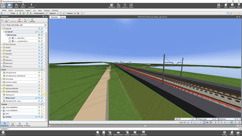
SierraSoft Rails Design Studio
Logiciel BIM pour la conception de voies ferrée et de routes -
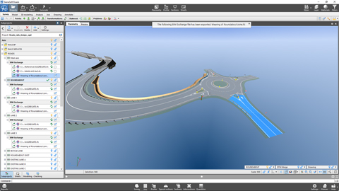
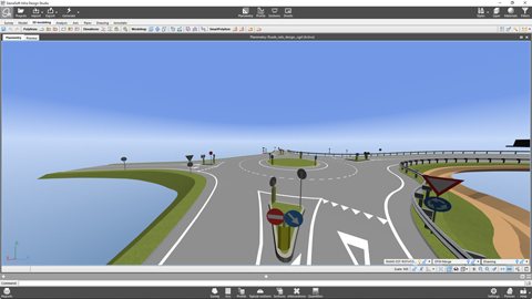
SierraSoft Roads Design Studio
Logiciel BIM pour la conception de route et hydraulique -
SierraSoft Rails
Logiciel BIM pour la conception de voies ferrée -
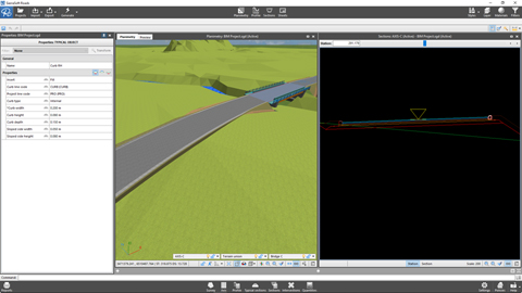
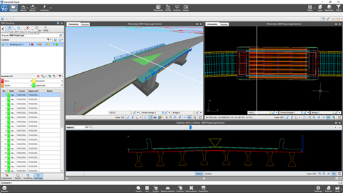
SierraSoft Roads
Logiciel BIM pour la conception de routes et d'autoroutes -
SierraSoft Hydro
Logiciel BIM pour la conception hydraulique -
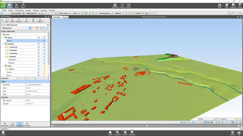
SierraSoft Land Design Studio
Logiciel BIM pour le calcul, la modélisation 3D et l'analyse topographique -
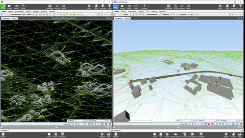
SierraSoft Land
Logiciel BIM pour la modélisation 3D et l'analyse du territoire -
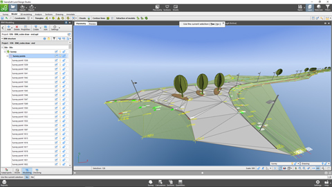
SierraSoft Survey
Logiciel BIM pour le calcul et la compensation des mesures topographiques - EXTENSIONS
- TECHNOLOGIES
- VIDÉO
- SERVICES
-
Vue d'ensemble
Vue d'ensemble des services offerts -
Subscription
Caractéristiques de l'abonnement -
Codes d'activation
Demande de codes d'activation de produit et de version d'essai -
Support technique
Caractéristiques du service -
Demande de support technique
-
Service client
Service clients sur les commandes, les factures, les licences et les produits sans Subscription -
SierraSoft Training
Cours en ligne en direct et en différé -
SierraSoft Coaching
Service de mentorat personnalisé à distance -
SierraSoft Consulting
Conseil technique lié à la mise en service et à l’utilisation des solutions SierraSoft -
BIM Accelerator
Service de conseil et support dans la mise en œuvre de la méthodologie BIM -
Certification Expert BIM
Certifiez vos compétences professionnelles -
SierraSoft Education
Compléter votre formation universitaire par des connaissances et des compétences sur les produits SierraSoft - ENTREPRISE
-
Vue d'ensemble
-
Qui sommes-nous
Informations sur SierraSoft -
Contacts
Adresses, contacts et réseau de vente -
Nouvelles et Bulletins d'information
Dernières nouvelles de SierraSoft -
Événements en présence
Toutes les informations sur les prochains événements en présence -
Événements “Online - Live”
Toutes les informations sur les prochains événements “Online - Live” - SOCIAL
- NEWSLETTER
- E-COMMERCE
- LANGUE